Bio-Region Resource Mapping
 Every day we are surrounded by a multitude of maps: street maps, political maps, world maps, geophysical maps, and so on. Maps can be powerful visual sources of information embodying an unchallenged truth.
Bioregion resource mapping provides an alternative way of thinking about map production and use, adding information about the people who inhabit the land.
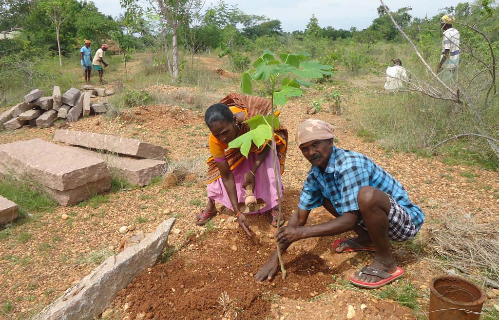
Our intention is to document the Kazhuveli bioregion collecting village histories, folk lore, archaeological information and traditional practices working with the villages to create community-made maps. Such resource mapping will be useful for planning, educational, community development, and cultural interpretation purposes.
Bioregional maps are important alternative sources of knowledge. They can be used by a community for self-empowerment and to (re)develop a sense of place and a connection to the land. They can be tools of resistance, of education or of identity. They can be presented and distributed through schools, community meetings, museums, libraries and so on.
We have a group of members from across different Auroville units working on collecting and sharing information from past to present. We meet once in a month, on the first Thursday of each month, to share our latest information and data-gathering experiences.
For more information, please contact Lourdes or Azhagappan. To read more about the project, please see our dedicated blog, here: https://kalivelibioregion.wordpress.com/